2013
SY8289 : Military Access Point, Bovington Training Areas
taken 11 years ago, near to Bovington Camp, Dorset, England
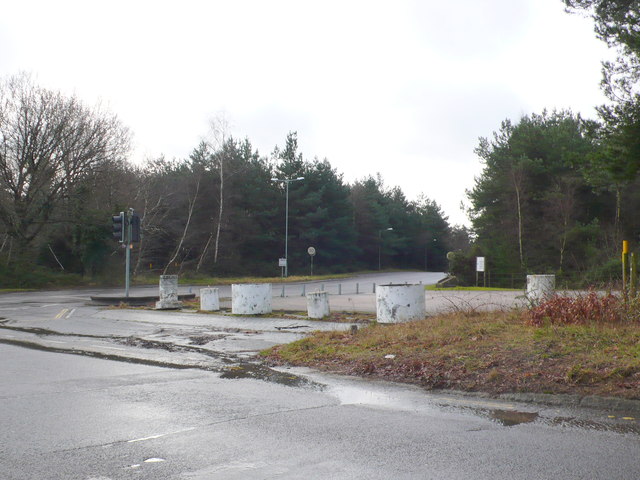
Military Access Point, Bovington Training Areas
This is one of the main entrances to a tank training area to the north west of Bovington Camp
 Map © Crown Copyright")
TIP: Click the map for more Large scale mapping
- Grid Square
- SY8289, 11 images (more nearby 🔍)
- Photographer
- Nigel Mykura (more nearby)
- Date Taken
- Friday, 1 February, 2013 (more nearby)
- Submitted
- Sunday, 3 February, 2013
- Subject Location
-
OSGB36:
 SY 8291 8970 [10m precision]
WGS84: 50:42.4009N 2:14.6032W - Camera Location
-
OSGB36: SY 8291 8971
- View Direction
- West-southwest (about 247 degrees)