2011
SN7028 : Stone bridge, Llangadog
taken 13 years ago, near to Llangadog, Carmarthenshire/Sir Gaerfyrddin, Wales
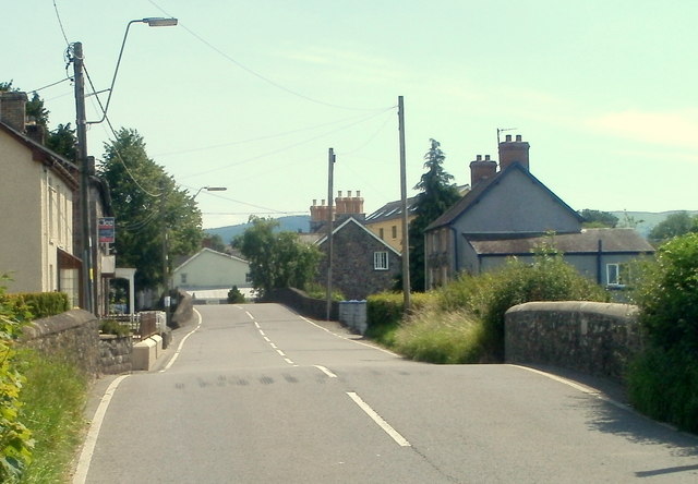
Stone bridge, Llangadog
A view from Station Road towards Church Street and the centre of the village.
The road crosses a bridge over a depression which is part of the flood plain of the Afon Bran.
The road crosses a bridge over a depression which is part of the flood plain of the Afon Bran.
 Map © Crown Copyright")
TIP: Click the map for more Large scale mapping
- Grid Square
- SN7028, 74 images (more nearby 🔍)
- Photographer
- Jaggery (more nearby)
- Date Taken
- Sunday, 3 July, 2011 (more nearby)
- Submitted
- Friday, 15 February, 2013
- Subject Location
-
OSGB36:
 SN 7058 2845 [10m precision]
WGS84: 51:56.3674N 3:53.0457W - Camera Location
-
OSGB36: SN 7053 2859
- View Direction
- South-southeast (about 157 degrees)