2002
ST8198 : Upper Lutheredge Farm
taken 22 years ago, near to Horsley, Gloucestershire, England
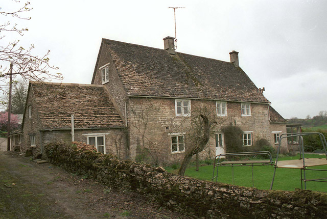
Upper Lutheredge Farm
 Map © Crown Copyright")
TIP: Click the map for more Large scale mapping
- Grid Square
- ST8198, 6 images (more nearby 🔍)
- Photographer
- Martin John Bishop (more nearby)
- Date Taken
- Friday, 15 March, 2002 (more nearby)
- Submitted
- Friday, 9 February, 2007
- Subject Location
-
OSGB36:
 ST 819 988 [100m precision]
WGS84: 51:41.2976N 2:15.7244W - Camera Location
-
OSGB36: ST 820 988
- View Direction
- West-northwest (about 292 degrees)