2013
SX8770 : St Marychurch Road, Milber
taken 11 years ago, near to Netherton, Devon, England
This is 1 of 2 images, with title St Marychurch Road, Milber in this square
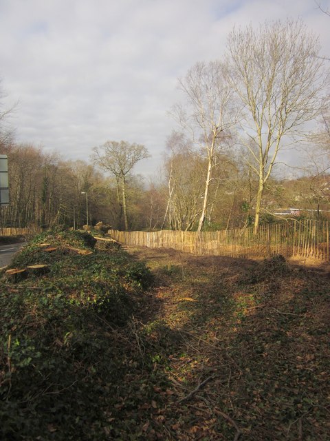
St Marychurch Road, Milber
Showing the cleared area on the northeast side of the road in preparation for constructing the junction with Aller Brake Road, as illustrated in SX8770 : Future road junction, Aller Brake Road.
 Map © Crown Copyright")
TIP: Click the map for more Large scale mapping
- Grid Square
- SX8770, 185 images (more nearby 🔍)
- Photographer
- Derek Harper (more nearby)
- Date Taken
- Saturday, 16 February, 2013 (more nearby)
- Submitted
- Friday, 22 February, 2013
- Subject Location
-
OSGB36:
 SX 879 702 [100m precision]
WGS84: 50:31.2489N 3:34.9605W - Camera Location
-
OSGB36: SX 8797 7023
- View Direction
- Northwest (about 315 degrees)