2012
SO4383 : Northern boundary of Craven Arms
taken 12 years ago, near to Halford, Shropshire, England
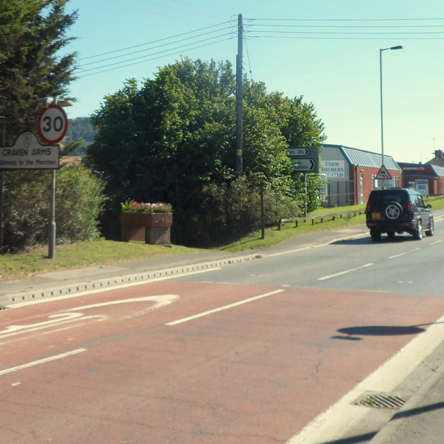
Northern boundary of Craven Arms
The A49 Shrewsbury Road reaches the boundary sign for Craven Arms, a small town in the south of Shropshire. Behind the boundary sign is a former drinking trough for animals, Link now used to hold flowers.
 Map © Crown Copyright")
TIP: Click the map for more Large scale mapping
- Grid Square
- SO4383, 217 images (more nearby 🔍)
- Photographer
- Jaggery (more nearby)
- Date Taken
- Friday, 7 September, 2012 (more nearby)
- Submitted
- Sunday, 24 February, 2013
- Subject Location
-
OSGB36:
 SO 4319 8355 [10m precision]
WGS84: 52:26.8166N 2:50.2371W - Camera Location
-
OSGB36: SO 4317 8357
- View Direction
- Southeast (about 135 degrees)