2013
NR2462 : Allt Ban, Islay
taken 11 years ago, near to Conisby, Islay, Argyll And Bute, Scotland
This is 1 of 2 images, with title Allt Ban, Islay in this square
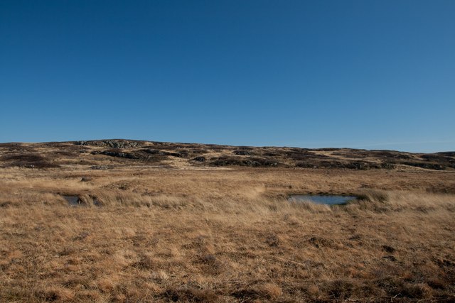
Allt Ban, Islay
 Map © Crown Copyright")
TIP: Click the map for more Large scale mapping
- Grid Square
- NR2462, 11 images (more nearby 🔍)
- Photographer
- Becky Williamson (more nearby)
- Date Taken
- Monday, 25 February, 2013 (more nearby)
- Submitted
- Tuesday, 26 February, 2013
- Subject Location
-
OSGB36:
 NR 24525 62854 [1m precision]
WGS84: 55:46.8166N 6:23.7047W - Camera Location
-
OSGB36: NR 2451 6285
- View Direction
- EAST (about 90 degrees)