2013
SX6857 : Green Lane, Wrangaton
taken 11 years ago, near to Moorhaven Village, Devon, England
This is 1 of 2 images, with title Green Lane, Wrangaton in this square
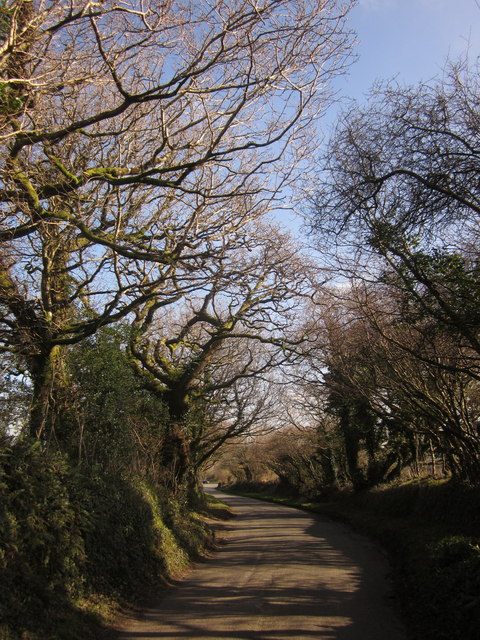
Green Lane, Wrangaton
All capitalised, because this tree-line road is called "Green Lane". Here it approaches the B3213 (the former A38).
 Map © Crown Copyright")
TIP: Click the map for more Large scale mapping
- Grid Square
- SX6857, 62 images (more nearby 🔍)
- Photographer
- Derek Harper (more nearby)
- Date Taken
- Monday, 18 February, 2013 (more nearby)
- Submitted
- Tuesday, 26 February, 2013
- Subject Location
-
OSGB36:
 SX 681 578 [100m precision]
WGS84: 50:24.3138N 3:51.4478W - Camera Location
-
OSGB36: SX 6811 5788
- View Direction
- Southeast (about 135 degrees)