2013
SJ9495 : Bottom of Market Street
taken 11 years ago, near to Hyde, Tameside, England
This is 1 of 2 images, with title Bottom of Market Street in this square
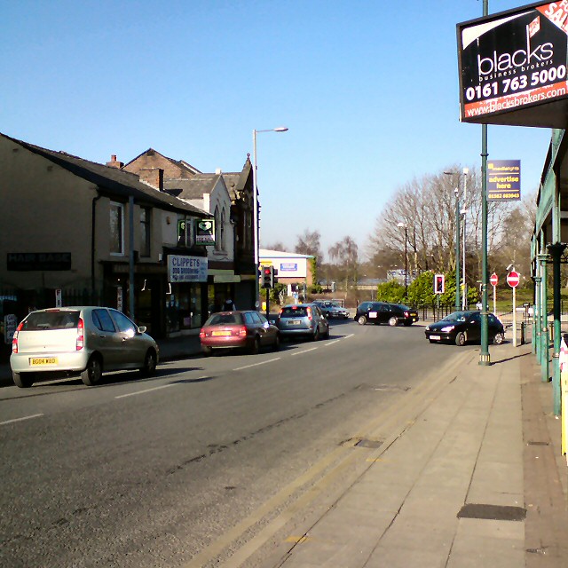
Bottom of Market Street
The bottom end of Market Street. Around the left-hand bend it becomes Manchester Road. On the right is the exit from the bus station. Before the building of the M67 in the 1970s this would also have been the junction with Newton Street ahead but now there is just a slipway to the M67 immediately round the bend.
Compare this with a view from 1948: Link
Compare this with a view from 1948: Link
 Map © Crown Copyright")
TIP: Click the map for more Large scale mapping
- Grid Square
- SJ9495, 883 images (more nearby 🔍)
- Photographer
- Gerald England (more nearby)
- Date Taken
- Saturday, 2 March, 2013 (more nearby)
- Submitted
- Sunday, 3 March, 2013
- Subject Location
-
OSGB36:
 SJ 9467 9509 [10m precision]
WGS84: 53:27.1524N 2:4.9037W - Camera Location
-
OSGB36: SJ 9470 9507
- View Direction
- West-northwest (about 292 degrees)