2013
SD6500 : Atherleigh Way (A579)
taken 11 years ago, near to Leigh, Wigan, England
This is 1 of 2 images, with title starting with Atherleigh Way in this square
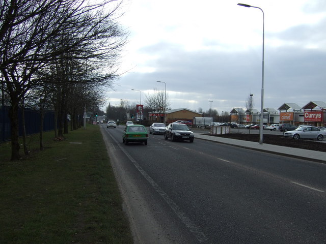
Atherleigh Way (A579)
Heading south.
 Map © Crown Copyright")
TIP: Click the map for more Large scale mapping
- Grid Square
- SD6500, 111 images (more nearby 🔍)
- Photographer
- JThomas (more nearby)
- Date Taken
- Saturday, 2 March, 2013 (more nearby)
- Submitted
- Sunday, 3 March, 2013
- Subject Location
-
OSGB36:
 SD 6519 0041 [10m precision]
WGS84: 53:29.9537N 2:31.5736W - Camera Location
-
OSGB36: SD 65217 00459
- View Direction
- South-southwest (about 202 degrees)