2013
SD6255 : Heather burning near Millers House
taken 11 years ago, 4 km E of Tarnbrook, Lancashire, England
This is 1 of 2 images, with title Heather burning near Millers House in this square
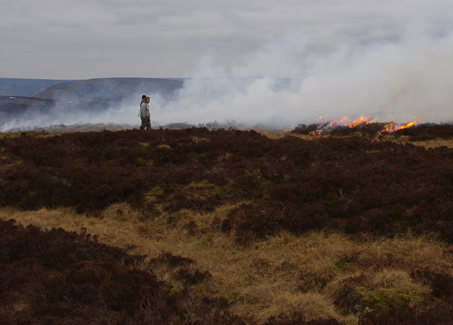
Heather burning near Millers House
 Map © Crown Copyright")
TIP: Click the map for more Large scale mapping
- Grid Square
- SD6255, 23 images (more nearby 🔍)
- Photographer
- Ian Taylor (more nearby)
- Date Taken
- Sunday, 3 March, 2013 (more nearby)
- Submitted
- Tuesday, 5 March, 2013
- Subject Location
-
OSGB36:
 SD 624 552 [100m precision]
WGS84: 53:59.5095N 2:34.4893W - Camera Location
-
OSGB36: SD 624 552
- View Direction
- Southwest (about 225 degrees)