2008
SO0620 : Waun Rydd
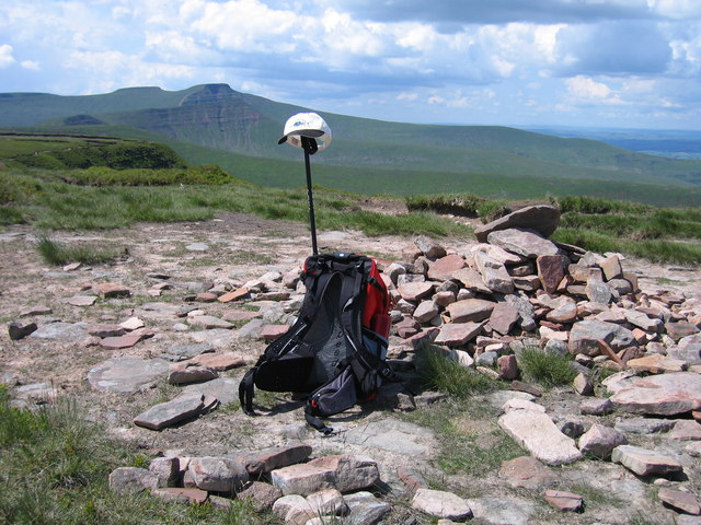
taken 16 years ago, 4 km NNW of Abercynafon, Powys, Wales
This is 1 of 3 images, with title Waun Rydd in this square
Waun Rydd
As an extension to the Neuadd Horseshoe after parking below Neuadd Reservoir on a warm, dry cloudy day with occasional sunshine.
Name: Waun Rydd
Hill number: 2233
Height: 769m / 2523ft
Area: 32A: Llandovery to Monmouth
Class: Ma,Hew,N
Grid ref: SO 06212 20689
Summit feature: cairn
Drop: 170m
Col: 599m SO031205
Name: Waun Rydd
Hill number: 2233
Height: 769m / 2523ft
Area: 32A: Llandovery to Monmouth
Class: Ma,Hew,N
Grid ref: SO 06212 20689
Summit feature: cairn
Drop: 170m
Col: 599m SO031205
 Map © Crown Copyright")
TIP: Click the map for more Large scale mapping
- Grid Square
- SO0620, 47 images (more nearby 🔍)
- Photographer
- Rude Health (more nearby)
- Date Taken
- Saturday, 7 June, 2008 (more nearby)
- Submitted
- Sunday, 10 March, 2013
- Subject Location
-
OSGB36:
 SO 0619 2063 [10m precision]
WGS84: 51:52.5792N 3:21.8478W - Camera Location
-
OSGB36: SO 0621 2062
- View Direction
- West-northwest (about 292 degrees)