2012
SP3578 : East Avenue, Stoke Park, Coventry CV2
taken 12 years ago, 3 km from Willenhall, Coventry, England
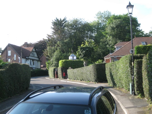
East Avenue, Stoke Park, Coventry CV2
"The area known as Stoke Park was developed from the 1860s and is completely surrounded by a curving sandstone wall
some sources suggest that this is the site of the old racecourse."
David McGrory. The Illustrated History of Coventry's Suburbs. Derby: Breedon Books, 2003. ISBN 1 85983 343 8
David McGrory. The Illustrated History of Coventry's Suburbs. Derby: Breedon Books, 2003. ISBN 1 85983 343 8
 Map © Crown Copyright")
TIP: Click the map for more Large scale mapping
- Grid Square
- SP3578, 47 images (more nearby 🔍)
- Photographer
- Robin Stott (more nearby)
- Date Taken
- Thursday, 9 August, 2012 (more nearby)
- Submitted
- Sunday, 17 March, 2013
- Subject Location
-
OSGB36:
 SP 3550 7894 [10m precision]
WGS84: 52:24.4392N 1:28.7747W - Camera Location
-
OSGB36: SP 3550 7891
- View Direction
- NORTH (about 0 degrees)