2013
TM3055 : Byway to Walnuts Lane
taken 11 years ago, near to Wickham Market, Suffolk, England
This is 1 of 2 images, with title Byway to Walnuts Lane in this square
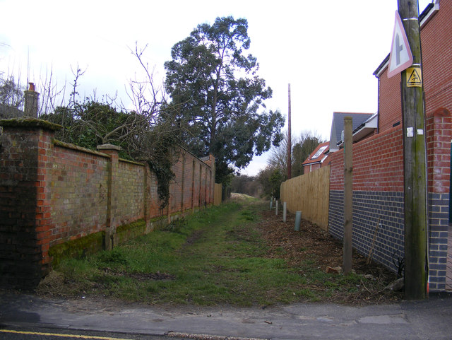
Byway to Walnuts Lane
Off the B1438 High Street near the CoOperative Supermarket
Wickham Market Byway No.19
Wickham Market Byway No.19
 Map © Crown Copyright")
TIP: Click the map for more Large scale mapping
- Grid Square
- TM3055, 230 images (more nearby 🔍)
- Photographer
- Geographer (more nearby)
- Date Taken
- Monday, 18 March, 2013 (more nearby)
- Submitted
- Tuesday, 19 March, 2013
- Subject Location
-
OSGB36:
 TM 30186 55594 [1m precision]
WGS84: 52:9.0373N 1:21.7965E - Camera Location
-
OSGB36: TM 30186 55594
- View Direction
- WEST (about 270 degrees)