2013
TQ7661 : Footbridge over the M2
taken 11 years ago, near to Blue Bell Hill, Kent, England
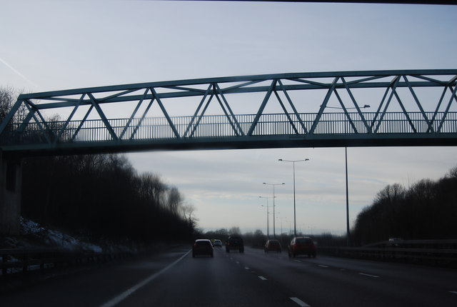
Footbridge over the M2
The M2 runs for 26 miles between Strood and Faversham. It was constructed between 1963 and 1965.
Read more at wikipedia Link
See other images of M2 Motorway
Read more at wikipedia Link
See other images of M2 Motorway
 Map © Crown Copyright")
TIP: Click the map for more Large scale mapping
- Grid Square
- TQ7661, 35 images (more nearby 🔍)
- Photographer
- N Chadwick (more nearby)
- Date Taken
- Saturday, 26 January, 2013 (more nearby)
- Submitted
- Monday, 25 March, 2013
- Subject Location
-
OSGB36:
 TQ 7606 6164 [10m precision]
WGS84: 51:19.5965N 0:31.5338E - Camera Location
-
OSGB36: TQ 7609 6163
- View Direction
- WEST (about 270 degrees)