2013
NS9106 : Hirstane Rig from Well Hill
taken 11 years ago, 4 km NE of Durisdeer, Dumfries And Galloway, Scotland
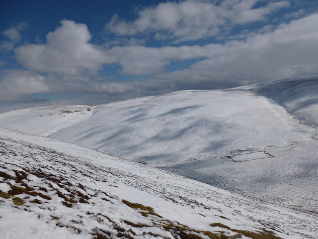
Hirstane Rig from Well Hill
Cloud shadows on the snowy slopes of Hirstane Rig.
 Map © Crown Copyright")
TIP: Click the map for more Large scale mapping
- Grid Square
- NS9106, 15 images (more nearby 🔍)
- Photographer
- Alan O'Dowd (more nearby)
- Date Taken
- Friday, 29 March, 2013 (more nearby)
- Submitted
- Friday, 29 March, 2013
- Subject Location
-
OSGB36:
 NS 9170 0633 [10m precision]
WGS84: 55:20.3423N 3:42.5421W - Camera Location
-
OSGB36: NS 9148 0629
- View Direction
- EAST (about 90 degrees)