2013
NS9106 : Well Hill fenceline
taken 11 years ago, 3 km from Durisdeer, Dumfries And Galloway, Scotland
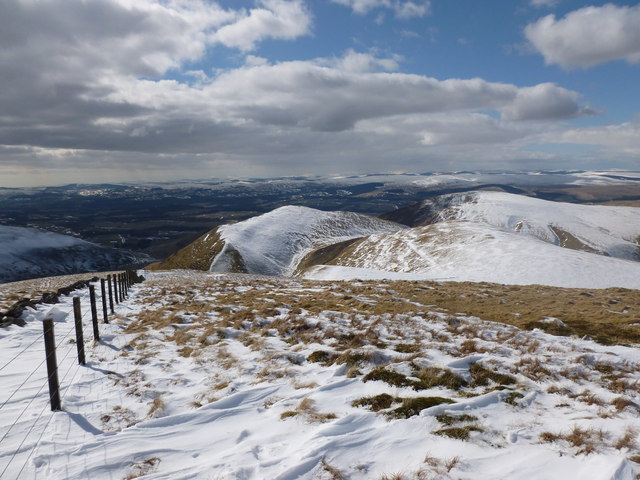
Well Hill fenceline
Looking over Penbane and Black Hill towards Nithsdale.
 Map © Crown Copyright")
TIP: Click the map for more Large scale mapping
- Grid Square
- NS9106, 15 images (more nearby 🔍)
- Photographer
- Alan O'Dowd (more nearby)
- Date Taken
- Friday, 29 March, 2013 (more nearby)
- Submitted
- Friday, 29 March, 2013
- Subject Location
-
OSGB36:
 NS 9123 0630 [10m precision]
WGS84: 55:20.3199N 3:42.9858W - Camera Location
-
OSGB36: NS 9131 0638
- View Direction
- Southwest (about 225 degrees)