2013
NY3232 : Evidence of mine workings Carrock Fell
taken 11 years ago, 4 km W of Mosedale, Cumbria, England
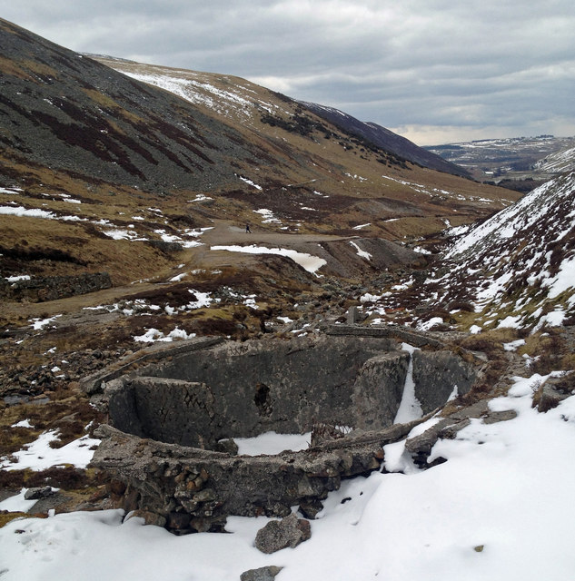
Evidence of mine workings Carrock Fell
 Map © Crown Copyright")
TIP: Click the map for more Large scale mapping
- Grid Square
- NY3232, 56 images (more nearby 🔍)
- Photographer
- Martin (more nearby)
- Date Taken
- Sunday, 31 March, 2013 (more nearby)
- Submitted
- Sunday, 31 March, 2013
- Subject Location
-
OSGB36:
 NY 3227 3296 [10m precision]
WGS84: 54:41.2267N 3:3.1290W - Camera Location
-
OSGB36: NY 32193 32948
- View Direction
- EAST (about 90 degrees)