2013
NU0248 : Cocklawburn Beach and Near Skerrs
taken 11 years ago, near to Scremerston, Northumberland, England
This is 1 of 38 images, with title starting with Cocklawburn in this square
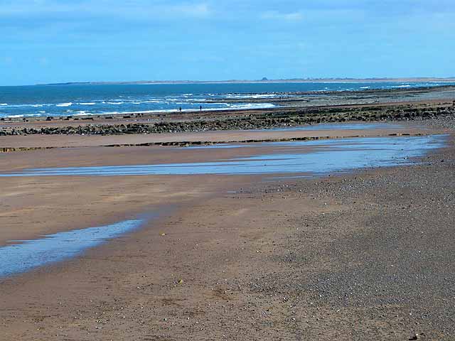
Cocklawburn Beach and Near Skerrs
Alternating beach and rocky shoreline south of Berwick-upon-Tweed. Holy Island can be seen extending out to sea in the distance.
 Map © Crown Copyright")
TIP: Click the map for more Large scale mapping
- Grid Square
- NU0248, 125 images (more nearby 🔍)
- Photographer
- Oliver Dixon (more nearby)
- Date Taken
- Tuesday, 2 April, 2013 (more nearby)
- Submitted
- Wednesday, 3 April, 2013
- Subject Location
-
OSGB36:
 NU 0283 4869 [10m precision]
WGS84: 55:43.8963N 1:57.3902W - Camera Location
-
OSGB36: NU 02525 48866
- View Direction
- East-southeast (about 112 degrees)