2013
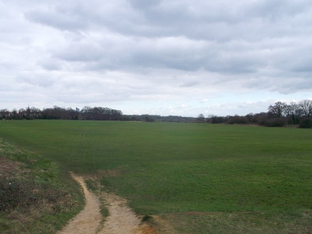
TQ4086 : Path to Wanstead Flats
taken 14 years ago, near to Wanstead, Redbridge, England
This is 1 of 2 images, with title starting with Path to Wanstead Flats in this square
Path to Wanstead Flats
A path leads from Centre Road towards a large recreational ground beside Aldersbrook Road.
The flats are part of Epping Forest.
In the background on the left, the top of TQ4386 : Poineer Point, Ilford, can just be seen.
The flats are part of Epping Forest.
In the background on the left, the top of TQ4386 : Poineer Point, Ilford, can just be seen.

Epping Forest (provided by Stephen Craven)
Epping Forest (formerly known as Waltham Forest) is an ancient woodland north-east of London. As a former royal forest dating from the 12th century, it is managed by the City of London Corporation.
The forest is 2,476 hectares in area, comprising woodland, grassland and open heath, forming a 19km long green corridor.
[abstract from Wikipedia article: Link]


TIP: Click the map for more Large scale mapping
- Grid Square
- TQ4086, 59 images (more nearby 🔍)
- Photographer
- David Anstiss (more nearby)
- Date Taken
- Sunday, 31 March, 2013 (more nearby)
- Submitted
- Sunday, 7 April, 2013
- Subject Location
-
OSGB36:
 TQ 4061 8678
[10m precision]
WGS84: 51:33.7426N 0:1.6272E - Camera Location
-
OSGB36:
TQ 4059 8679
- View Direction
- East-southeast (about 112 degrees)


