2013
NS3679 : Dry-stone wall
taken 11 years ago, near to Alexandria, West Dunbartonshire, Scotland
This is 1 of 2 images, with title Dry-stone wall in this square
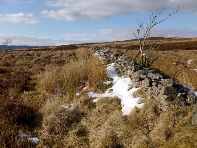
Dry-stone wall
As is indicated on the OS map, this part of the wall is on the boundary between Argyll and Bute (to the left/west) and West Dunbartonshire.
 Map © Crown Copyright")
TIP: Click the map for more Large scale mapping
- Grid Square
- NS3679, 44 images (more nearby 🔍)
- Photographer
- Lairich Rig (more nearby)
- Date Taken
- Thursday, 28 March, 2013 (more nearby)
- Submitted
- Monday, 8 April, 2013
- Subject Location
-
OSGB36:
 NS 3681 7983 [10m precision]
WGS84: 55:59.0168N 4:37.0385W - Camera Location
-
OSGB36: NS 3683 7980
- View Direction
- North-northwest (about 337 degrees)