2013
SX9265 : A379, Babbacombe
taken 11 years ago, near to Babbacombe, Torbay, England
This is 1 of 2 images, with title A379, Babbacombe in this square
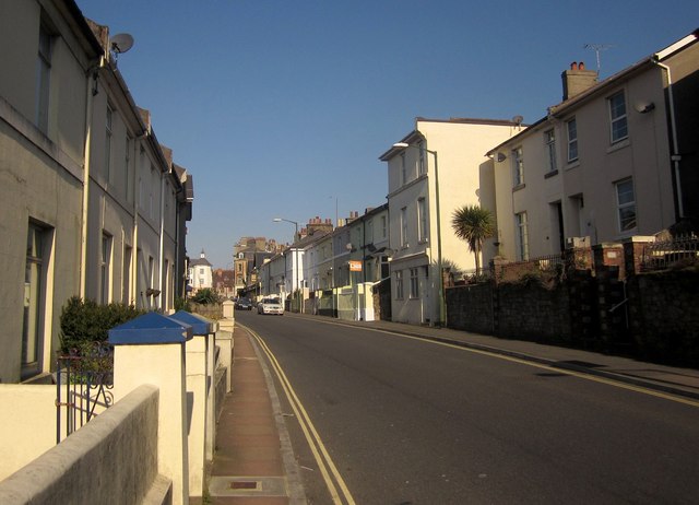
A379, Babbacombe
Babbacombe Road runs slightly uphill between terraces into the centre of Babbacombe.
 Map © Crown Copyright")
TIP: Click the map for more Large scale mapping
- Grid Square
- SX9265, 1133 images (more nearby 🔍)
- Photographer
- Derek Harper (more nearby)
- Date Taken
- Wednesday, 3 April, 2013 (more nearby)
- Submitted
- Tuesday, 9 April, 2013
- Subject Location
-
OSGB36:
 SX 9288 6518 [10m precision]
WGS84: 50:28.5972N 3:30.6607W - Camera Location
-
OSGB36: SX 9290 6515
- View Direction
- Northwest (about 315 degrees)