2013
TL8588 : Forestry operations track
taken 11 years ago, 3 km from Croxton, Norfolk, England
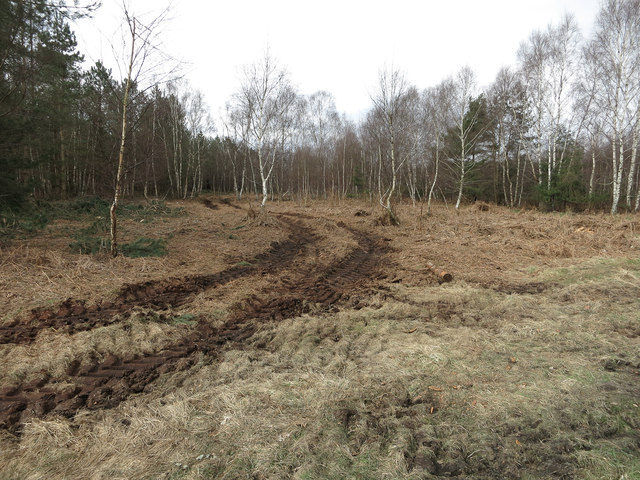
Forestry operations track
Signs of the heavy machinery used to harvest the trees.
 Map © Crown Copyright")
TIP: Click the map for more Large scale mapping
- Grid Square
- TL8588, 6 images (more nearby 🔍)
- Photographer
- Hugh Venables (more nearby)
- Date Taken
- Friday, 29 March, 2013 (more nearby)
- Submitted
- Wednesday, 10 April, 2013
- Subject Location
-
OSGB36:
 TL 8503 8849 [10m precision]
WGS84: 52:27.7799N 0:43.3311E - Camera Location
-
OSGB36: TL 85070 88501
- View Direction
- West-southwest (about 247 degrees)