2013
NT7232 : Former railway line, Kelso
taken 11 years ago, near to Maxwellheugh, Scottish Borders, Scotland
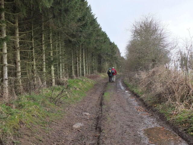
Former railway line, Kelso
This was on the route of the St Boswells to Tweedmouth line with Kelso station at Maxwellheugh. Passenger services ceased in 1964 and the line closed in 1968. More details about the railway are available on the Kelso website at Link (Archive Link ) The line is now a path to the Roxburgh Viaduct over the River Teviot.
 Map © Crown Copyright")
TIP: Click the map for more Large scale mapping
- Grid Square
- NT7232, 14 images (more nearby 🔍)
- Photographer
- Jim Barton (more nearby)
- Date Taken
- Thursday, 18 April, 2013 (more nearby)
- Submitted
- Thursday, 18 April, 2013
- Subject Location
-
OSGB36:
 NT 7219 3259 [10m precision]
WGS84: 55:35.1690N 2:26.5649W - Camera Location
-
OSGB36: NT 7224 3262
- View Direction
- West-southwest (about 247 degrees)