2013
TG1208 : Bow Hill, Marlingford
taken 11 years ago, near to Marlingford, Norfolk, England
This is 1 of 3 images, with title Bow Hill, Marlingford in this square
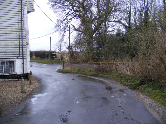
Bow Hill, Marlingford
Approaching the junction with Church Road near Marlingford Mill
 Map © Crown Copyright")
TIP: Click the map for more Large scale mapping
- Grid Square
- TG1208, 125 images (more nearby 🔍)
- Photographer
- Geographer (more nearby)
- Date Taken
- Friday, 12 April, 2013 (more nearby)
- Submitted
- Thursday, 18 April, 2013
- Subject Location
-
OSGB36:
 TG 12886 08343 [1m precision]
WGS84: 52:37.8640N 1:8.6591E - Camera Location
-
OSGB36: TG 12886 08343
- View Direction
- Northwest (about 315 degrees)