2013
TG2702 : Long Road, Framingham Earl
taken 11 years ago, near to Framingham Earl, Norfolk, England
This is 1 of 2 images, with title Long Road, Framingham Earl in this square
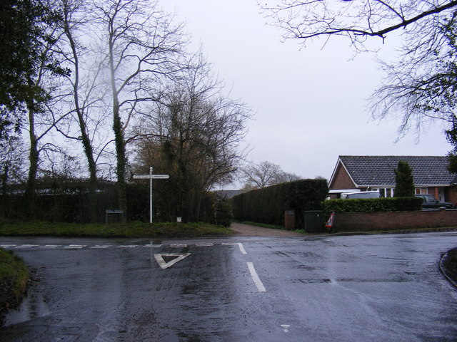
Long Road, Framingham Earl
At the junction with Hall Road
 Map © Crown Copyright")
TIP: Click the map for more Large scale mapping
- Grid Square
- TG2702, 128 images (more nearby 🔍)
- Photographer
- Geographer (more nearby)
- Date Taken
- Friday, 12 April, 2013 (more nearby)
- Submitted
- Saturday, 20 April, 2013
- Subject Location
-
OSGB36:
 TG 27562 02579 [1m precision]
WGS84: 52:34.4035N 1:21.4097E - Camera Location
-
OSGB36: TG 27562 02579
- View Direction
- East-southeast (about 112 degrees)