2013
J3370 : Cattle, Lagan Meadows, Belfast (3)
taken 11 years ago, 4 km S of Belfast, Co Antrim, Northern Ireland
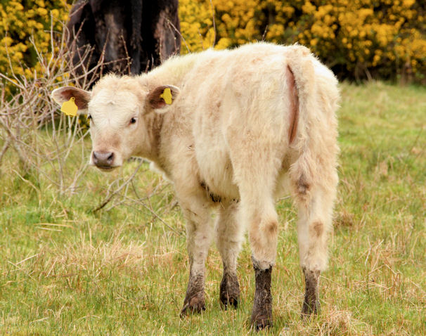
Cattle, Lagan Meadows, Belfast (3)
One of two calves in a small herd close to the towpath. Not obvious here but this is suburban BT9 see the satellite photograph.
The Lagan Meadows, Belfast :: J3470
The Lagan Meadows is a public park of 120 acres administered by Belfast City Council. Its more than that however. In practice its a piece of completely rural countryside preserved in the middle of the Stranmillis and Malone areas of suburban south Belfast not far from the Lagan towpath. Although undulating most of it is fairly easy going but unassisted wheelchair users might have difficulty in some places.
Loading map... (JavaScript required)
- Grid Square
- J3370, 158 images (more nearby 🔍)
- Photographer
- Albert Bridge (more nearby)
- Date Taken
- Wednesday, 24 April, 2013 (more nearby)
- Submitted
- Wednesday, 24 April, 2013
- Subject Location
-
Irish:
 J 338 704 [100m precision]
WGS84: 54:33.8511N 5:55.8681W - Camera Location
-
Irish: J 338 703
- View Direction
- NORTH (about 0 degrees)