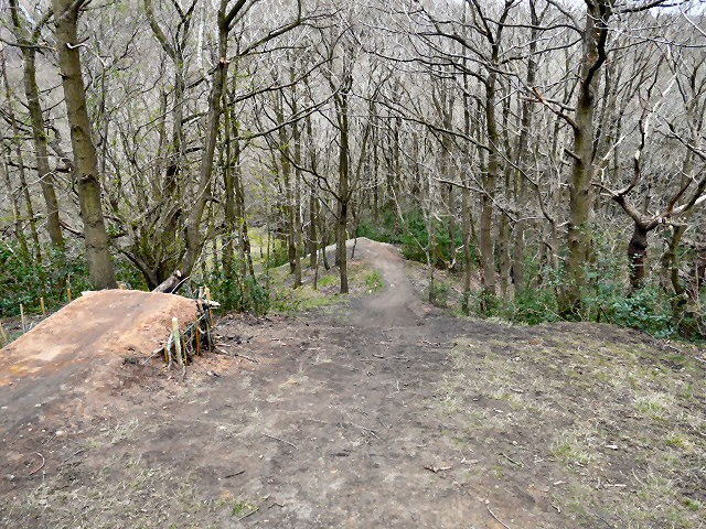
SJ9494 : Gower Hey Wood
taken 11 years ago, near to Haughton Green, Tameside, England
The River Tame (Greater Manchester), not to be confused with its namesake in the West Midlands, rises on Denshaw Moor. Its catchment lies mainly on the western flank of the Pennines. The named river starts as compensation flow from Readycon Dean Reservoir in the moors above Denshaw. The source is a little further north, just over the county border in West Yorkshire, close to the Pennine Way. The highest point of the catchment is Greater Manchester's highest point at Black Chew Head.
The river flows generally south through Delph, Uppermill, Mossley, Stalybridge, Ashton-under-Lyne, Dukinfield, Haughton Green, Denton and Hyde. After Mossley the river marks much of the historical boundary dividing Cheshire and Lancashire, before its confluence with the River Goyt to form the River Mersey at Stockport.
 Map © Crown Copyright")
- Grid Square
- SJ9494, 2228 images (more nearby 🔍)
- Photographer
- Gerald England (more nearby)
- Date Taken
- Sunday, 21 April, 2013 (more nearby)
- Submitted
- Thursday, 25 April, 2013
- Subject Location
-
OSGB36:
 SJ 9426 9412 [10m precision]
WGS84: 53:26.6290N 2:5.2730W - Camera Location
-
OSGB36: SJ 9427 9411
- View Direction
- West-northwest (about 292 degrees)