2007
NY9659 : Wooley, near Slaley
taken 17 years ago, near to Slaley, Northumberland, England
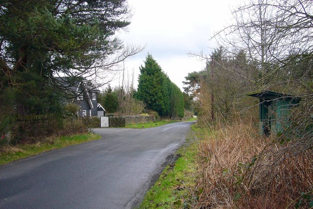
Wooley, near Slaley
This was once the site of a hospital built in 1916 for first world war gas victims, and later became a sanatorium, until its closure in 1976.
Some of the characteristic darkwood timberlap buildings survive and have been converted for residential use.
Some of the characteristic darkwood timberlap buildings survive and have been converted for residential use.
 Map © Crown Copyright")
TIP: Click the map for more Large scale mapping
- Grid Square
- NY9659, 21 images (more nearby 🔍)
- Photographer
- Bill Cresswell (more nearby)
- Date Taken
- Monday, 19 February, 2007 (more nearby)
- Submitted
- Tuesday, 20 February, 2007
- Subject Location
-
OSGB36:
 NY 965 595 [100m precision]
WGS84: 54:55.8317N 2:3.3502W - Camera Location
-
OSGB36: NY 963 594
- View Direction
- East-northeast (about 67 degrees)