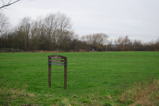
TQ3798 : Rammey Marsh
taken 11 years ago, near to Sewardstone, Essex, England
Lee Valley Park is a 10,000 acre, 26 miles long linear park, much of it green spaces, running through the northeast of London, Essex and Hertfordshire from the River Thames to Ware, through areas such as Hackney, Tottenham, Enfield, Stratford, Tower Hamlets, Walthamstow, Cheshunt, Broxbourne and Hoddesdon in an area generally known as the Lee Valley. London's largest park, Lee Valley Park is more than four times the size of Richmond Park, extending beyond London's borders into the neighbouring counties of Hertfordshire and Essex.
The park follows the course of the River Lea (Lee) along the Lea Valley from Ware in Hertfordshire through Essex and North East London, through the Queen Elizabeth Olympic Park to East India Dock Basin on the River Thames. The park is managed by Lee Valley Regional Park Authority and is made up of a diverse mix of countryside areas, urban green spaces, heritage sites, country parks, nature reserves and lakes and riverside trails, as well as leading sports centres.
Rammey Marsh is located in the Lee Valley Park at Enfield Lock and covers approximately 42 hectares. The site is owned and managed by the Lee Valley Regional Park Authority.
Wikipedia: Link
 Map © Crown Copyright")
- Grid Square
- TQ3798, 120 images (more nearby 🔍)
- Photographer
- N Chadwick (more nearby)
- Date Taken
- Sunday, 3 February, 2013 (more nearby)
- Submitted
- Sunday, 28 April, 2013
- Subject Location
-
OSGB36:
 TQ 3717 9884 [10m precision]
WGS84: 51:40.2956N 0:1.0655W - Camera Location
-
OSGB36: TQ 3717 9878
- View Direction
- NORTH (about 0 degrees)