2013
SJ8148 : Footpath along the northern edge of Watermills Wood
taken 11 years ago, near to Alsagers Bank, Staffordshire, England
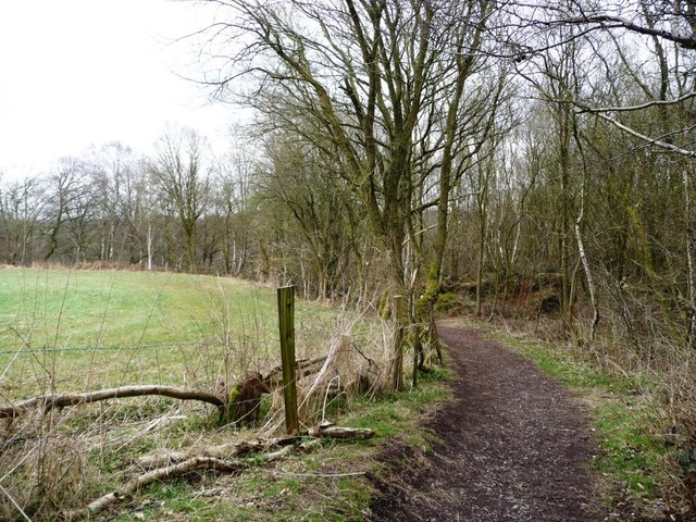
Footpath along the northern edge of Watermills Wood
Watermills Wood was saved from opencast coal mining because of its value as ancient woodland habitat.
 Map © Crown Copyright")
TIP: Click the map for more Large scale mapping
- Grid Square
- SJ8148, 79 images (more nearby 🔍)
- Photographer
- Christine Johnstone (more nearby)
- Date Taken
- Sunday, 14 April, 2013 (more nearby)
- Submitted
- Monday, 29 April, 2013
- Subject Location
-
OSGB36:
 SJ 8173 4881 [10m precision]
WGS84: 53:2.1751N 2:16.4345W - Camera Location
-
OSGB36: SJ 8172 4881
- View Direction
- East-southeast (about 112 degrees)