2013
NH6929 : Lonely Moorland Road
taken 11 years ago, 4 km ENE of Brinmore, Highland, Scotland
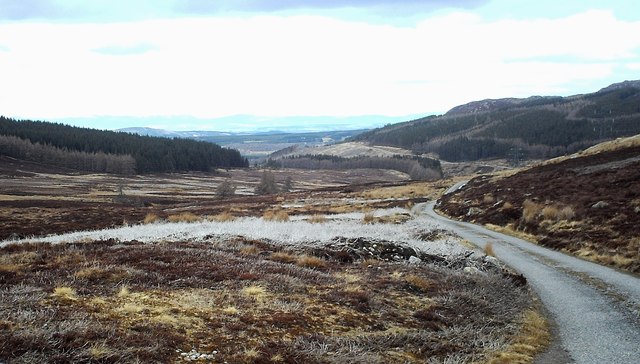
Lonely Moorland Road
The road between Strathdearn and Strathnairn
 Map © Crown Copyright")
TIP: Click the map for more Large scale mapping
- Grid Square
- NH6929, 14 images (more nearby 🔍)
- Photographer
- John MacKenzie (more nearby)
- Date Taken
- Saturday, 27 April, 2013 (more nearby)
- Submitted
- Tuesday, 30 April, 2013
- Subject Location
-
OSGB36:
 NH 6989 2997 [10m precision]
WGS84: 57:20.4967N 4:9.8067W - Camera Location
-
OSGB36: NH 6996 2921
- View Direction
- NORTH (about 0 degrees)