2013
NT9924 : Ford, Coldgate
taken 11 years ago, near to North Middleton, Northumberland, England
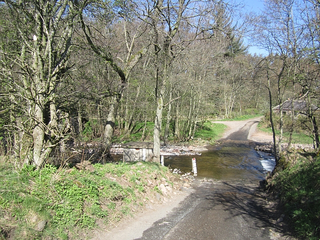
Ford, Coldgate
One of three between Wooler and Ingram. Unlike the other two there is a built road through the burn. There is a footbridge upstream.
 Map © Crown Copyright")
TIP: Click the map for more Large scale mapping
- Grid Square
- NT9924, 39 images (more nearby 🔍)
- Photographer
- Richard Webb (more nearby)
- Date Taken
- Tuesday, 30 April, 2013 (more nearby)
- Submitted
- Thursday, 2 May, 2013
- Subject Location
-
OSGB36:
 NT 9976 2485 [10m precision]
WGS84: 55:31.0443N 2:0.3214W - Camera Location
-
OSGB36: NT 9978 2483
- View Direction
- Northwest (about 315 degrees)