2013

NU0122 : Ford, Lilburn Burn

taken 11 years ago, near to South Middleton, Northumberland, England
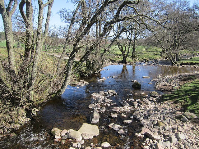
Ford, Lilburn Burn
Ford, Lilburn Burn
View downstream from the footbridge.

Creative Commons Licence [Some Rights Reserved]   © Copyright Richard Webb and licensed for reuse under this Creative Commons Licence.
Geographical Context: Farm, Fishery, Market Gardening Rivers, Streams, Drainage Roads, Road transport National Cycle Network: Route 68 other tags: Burn Ford Click a tag, to view other nearby images.
This photo is linked from: Automatic Clusters: · Ford over the Lilburn Burn [10] · Footbridge [2] ·
1:50,000 Modern Day Landranger(TM) Map © Crown Copyright
+
+
1:50,000 Modern Day Landranger(TM) Map © Crown Copyright
TIP: Click the map for more Large scale mapping
Grid Square
NU0122, 17 images   (more nearby 🔍)
Photographer
Richard Webb   (more nearby)
Date Taken
Tuesday, 30 April, 2013   (more nearby)
Submitted
Thursday, 2 May, 2013
Subject Location
OSGB36: geotagged! NU 0100 2298 [10m precision]
WGS84: 55:30.0361N 1:59.1435W
Camera Location
OSGB36: geotagged! NU 0098 2296
View Direction
Northeast (about 45 degrees)
Clickable map
+
NW N NE
W Go E
SW S SE
Image classification(about): Supplemental image
This page has been viewed about 36 times
You are not logged in login | register