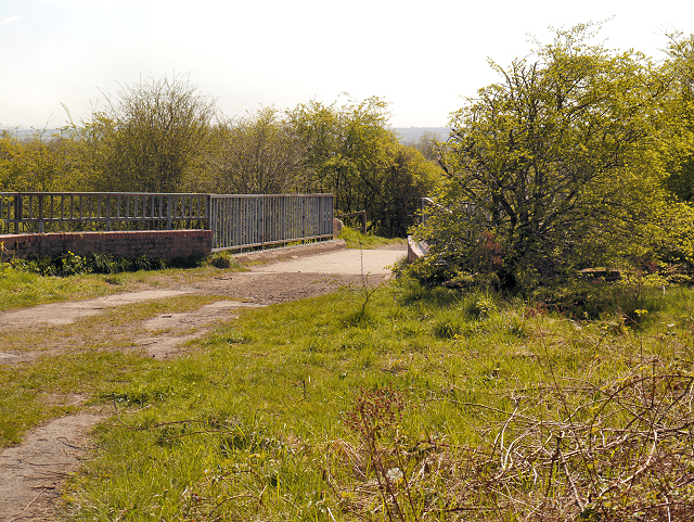
SD5907 : Haigh Country Park, Shedfield Bridge
taken 11 years ago, near to Marylebone, Wigan, England
The present Haigh Hall, a Grade II* Listed building (Historic England List Entry Number: 1228292 Link
), was built between 1827 and 1840 by James Lindsay, 7th Earl of Balcarres, on the site of the ancient manor house which had been home to the Bradshaigh family from 1298 until 1780 when Elizabeth Dalrymple, the great-niece of Sir Roger Bradhaigh, inherited the estate. In 1787, she married Alexander Lindsay, 6th Earl of Balcarres and Haigh Hall became the seat of the Earls of Balcarres. The Bradshaigh and Lindsay fortunes were made from seams of cannel coal under the estate which were mined from before 1536.
The extensive Plantations consist primarily of Beech trees with a proportion of Oak, Horse Chestnut, Sycamore, Ash and Lime and Scots Pine. These plantations were laid out in the 1860s to hide the condition of the landscape after being damaged by the mining activity.
The 250 acres of park and woodland surrounding Haigh Hall now forms the Haigh Country Park and the Haigh Hall Golf Club. The estate is bounded to the west by the River Douglas and to the east, the boundary is New Road; it was transferred to Wigan Corporation in 1947. Haigh Hall Park is included in the English Heritage Register of Parks and Gardens at grade II.
Haigh is pronounced locally as Hay.
 Map © Crown Copyright")
- Grid Square
- SD5907, 66 images (more nearby 🔍)
- Photographer
- David Dixon (more nearby)
- Date Taken
- Thursday, 2 May, 2013 (more nearby)
- Submitted
- Friday, 3 May, 2013
- Subject Location
-
OSGB36:
 SD 5995 0744 [10m precision]
WGS84: 53:33.7223N 2:36.3670W - Camera Location
-
OSGB36: SD 5994 0748
- View Direction
- South-southeast (about 157 degrees)