2013
SH6645 : Former incline at Rhosydd Slate Quarry
taken 11 years ago, near to Tanygrisiau, Gwynedd, Wales
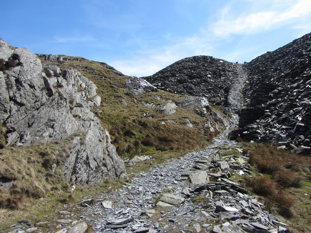
Former incline at Rhosydd Slate Quarry
 Map © Crown Copyright")
TIP: Click the map for more Large scale mapping
- Grid Square
- SH6645, 34 images (more nearby 🔍)
- Photographer
- Gareth James (more nearby)
- Date Taken
- Monday, 6 May, 2013 (more nearby)
- Submitted
- Friday, 10 May, 2013
- Subject Location
-
OSGB36:
 SH 6650 4594 [10m precision]
WGS84: 52:59.6462N 3:59.4294W - Camera Location
-
OSGB36: SH 6651 4597
- View Direction
- South-southwest (about 202 degrees)