2013
TL1878 : A1(M) north of Alconbury
taken 11 years ago, near to Upton, Cambridgeshire, England
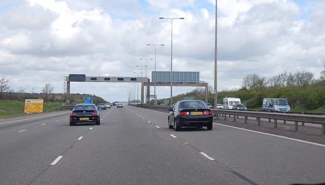
A1(M) north of Alconbury
Straight road ahead. The B1043 runs alongside for some distance.
A1 & A1(M), Great North Road
The A1 is the longest numbered road in the UK at 410 miles long. It connects London with Edinburgh, via the east of England.
For much of its path it follows the Great North Road the old coaching route between London and Edinburgh. Several sections of the route are classified as motorway A1(M). The modern A1 bypasses the towns the Great North Road passed through and is dual carriageway for most of its route through England.
 Map © Crown Copyright")
TIP: Click the map for more Large scale mapping
- Grid Square
- TL1878, 33 images (more nearby 🔍)
- Photographer
- Julian P Guffogg (more nearby)
- Date Taken
- Saturday, 4 May, 2013 (more nearby)
- Submitted
- Friday, 17 May, 2013
- Subject Location
-
OSGB36:
 TL 1844 7879 [10m precision]
WGS84: 52:23.6596N 0:15.6488W - Camera Location
-
OSGB36: TL 1850 7847
- View Direction
- NORTH (about 0 degrees)