2013
TQ5844 : A21 Tonbridge Bypass
taken 11 years ago, near to Tonbridge, Kent, England
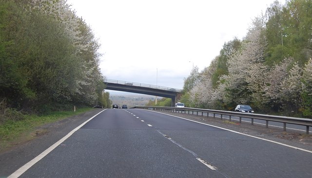
A21 Tonbridge Bypass
The bridge carries Quarry Hill Road, part of the junction with the A26.
 Map © Crown Copyright")
TIP: Click the map for more Large scale mapping
- Grid Square
- TQ5844, 155 images (more nearby 🔍)
- Photographer
- Julian P Guffogg (more nearby)
- Date Taken
- Saturday, 4 May, 2013 (more nearby)
- Submitted
- Saturday, 18 May, 2013
- Subject Location
-
OSGB36:
 TQ 5829 4493 [10m precision]
WGS84: 51:10.9015N 0:15.8013E - Camera Location
-
OSGB36: TQ 5850 4486
- View Direction
- West-northwest (about 292 degrees)