2012
SX9272 : View to Butterfly Lane from the west end of Laurel Lane, Ringmore
taken 12 years ago, near to Shaldon, Devon, England
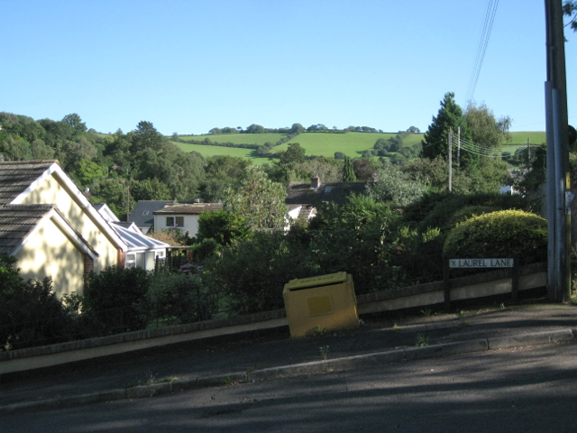
View to Butterfly Lane from the west end of Laurel Lane, Ringmore
Butterfly Lane runs along the ridge that encloses the Ringmore valley. This is a view back down: SX9271 : View over Ringmore.
 Map © Crown Copyright")
TIP: Click the map for more Large scale mapping
- Grid Square
- SX9272, 313 images (more nearby 🔍)
- Photographer
- Robin Stott (more nearby)
- Date Taken
- Monday, 20 August, 2012 (more nearby)
- Submitted
- Saturday, 18 May, 2013
- Subject Location
-
OSGB36:
 SX 9248 7211 [10m precision]
WGS84: 50:32.3308N 3:31.1187W - Camera Location
-
OSGB36: SX 9248 7211
- View Direction
- SOUTH (about 180 degrees)