1991
NN1465 : Stob Ban from the South east ridge
taken 33 years ago, 3 km from Achriabhach, Highland, Scotland
This is 1 of 3 images, with title starting with Stob Ban from the in this square
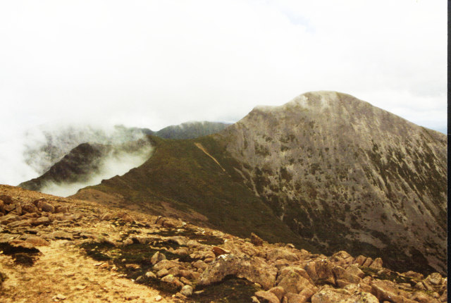
Stob Ban from the South east ridge
From 1991 before digital cameras, so scanned.
 Map © Crown Copyright")
TIP: Click the map for more Large scale mapping
- Grid Square
- NN1465, 43 images (more nearby 🔍)
- Photographer
- CMackay (more nearby)
- Date Taken
- Wednesday, 10 July, 1991 (more nearby)
- Submitted
- Sunday, 19 May, 2013
- Subject Location
-
OSGB36:
 NN 1474 6542 [10m precision]
WGS84: 56:44.6100N 5:1.8561W - Camera Location
-
OSGB36: NN 1455 6512
- View Direction
- North-northeast (about 22 degrees)