2013
SE3172 : Junction of footpath with road at #36 Palace Road
taken 11 years ago, near to Ripon, North Yorkshire, England
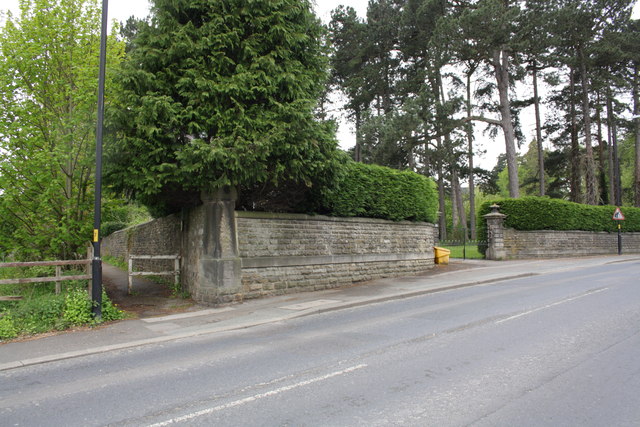
Junction of footpath with road at #36 Palace Road
There is an OS benchmark SE3172 : Benchmark on boundary wall corner pier of #36 Palace Road on the road face of the wall corner pier on the right hand side of the footpath
 Map © Crown Copyright")
TIP: Click the map for more Large scale mapping
- Grid Square
- SE3172, 76 images (more nearby 🔍)
- Photographer
- Roger Templeman (more nearby)
- Date Taken
- Friday, 10 May, 2013 (more nearby)
- Submitted
- Tuesday, 21 May, 2013
- Subject Location
-
OSGB36:
 SE 3110 7201 [10m precision]
WGS84: 54:8.5793N 1:31.5255W - Camera Location
-
OSGB36: SE 3112 7202
- View Direction
- West-southwest (about 247 degrees)