2013
TL7924 : Stisted Mill
taken 11 years ago, near to Stisted, Essex, England
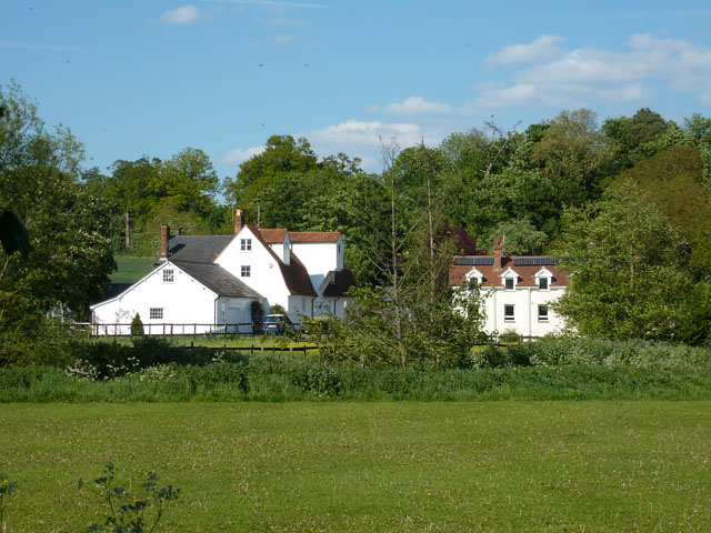
Stisted Mill
It used the River Blackwater, whose natural course runs just across the near field.
 Map © Crown Copyright")
TIP: Click the map for more Large scale mapping
- Grid Square
- TL7924, 25 images (more nearby 🔍)
- Photographer
- Robin Webster (more nearby)
- Date Taken
- Monday, 27 May, 2013 (more nearby)
- Submitted
- Tuesday, 28 May, 2013
- Subject Location
-
OSGB36:
 TL 7912 2448 [10m precision]
WGS84: 51:53.4054N 0:36.0910E - Camera Location
-
OSGB36: TL 79045 24381
- View Direction
- Northeast (about 45 degrees)