2013
NZ0267 : Farmland and woodland northeast of White House
taken 11 years ago, near to Aydon, Northumberland, England
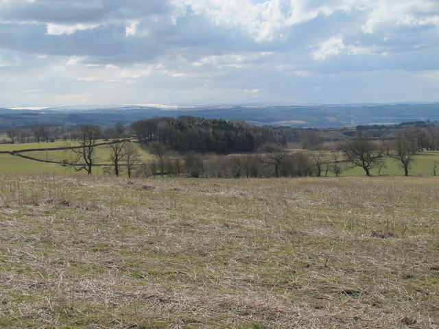
Farmland and woodland northeast of White House
 Map © Crown Copyright")
TIP: Click the map for more Large scale mapping
- Grid Square
- NZ0267, 26 images (more nearby 🔍)
- Photographer
- Mike Quinn (more nearby)
- Date Taken
- Thursday, 4 April, 2013 (more nearby)
- Submitted
- Sunday, 2 June, 2013
- Subject Location
-
OSGB36:
 NZ 0202 6769 [10m precision]
WGS84: 55:0.2265N 1:58.1972W - Camera Location
-
OSGB36: NZ 0212 6779
- View Direction
- Southwest (about 225 degrees)