2013
TL3706 : River Lee Navigation near Broxbourne
taken 11 years ago, near to Broxbourne, Hertfordshire, England
This is 1 of 2 images, with title River Lee Navigation near Broxbourne in this square
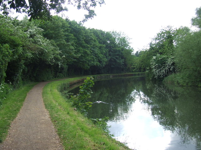
River Lee Navigation near Broxbourne
The waterway forms the border between the counties of Essex (on this bank) and Hertfordshire (on the opposite bank).
The towpath is a shared path for cycling and walking.
The towpath is a shared path for cycling and walking.
River Lea
The River Lea (or Lee) originates at Marsh Farm Leagrave, Luton in the Chiltern Hills and flows generally southeast, east, and then south to London where it meets the River Thames. The river is 42 miles long.
Wikipedia: Link
Lea Navigation (Lee Navigation)
The Lee Navigation is a canalised river incorporating the River Lea (River Lee). It runs from Hertford Castle Weir to the River Thames at Bow Creek; its first lock is Hertford Lock and its last Bow Locks.
See Wikipedia article: Link
 Map © Crown Copyright")
TIP: Click the map for more Large scale mapping
- Grid Square
- TL3706, 170 images (more nearby 🔍)
- Photographer
- Malc McDonald (more nearby)
- Date Taken
- Saturday, 1 June, 2013 (more nearby)
- Submitted
- Monday, 3 June, 2013
- Subject Location
-
OSGB36:
 TL 3770 0665 [10m precision]
WGS84: 51:44.4985N 0:0.4210W - Camera Location
-
OSGB36: TL 3773 0664
- View Direction
- WEST (about 270 degrees)