2013
NX0669 : Carpark and picnic area
taken 11 years ago, near to Cairnryan, Dumfries And Galloway, Scotland
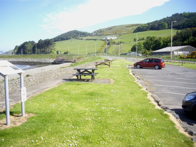
Carpark and picnic area
Off A77 near Burnfoot Bridge at Cairn Point; the white farmhouse on the hillside ahead is Bonny Braes.
 Map © Crown Copyright")
TIP: Click the map for more Large scale mapping
- Grid Square
- NX0669, 188 images (more nearby 🔍)
- Photographer
- Stanley Howe (more nearby)
- Date Taken
- Wednesday, 29 May, 2013 (more nearby)
- Submitted
- Tuesday, 4 June, 2013
- Subject Location
-
OSGB36:
 NX 062 690 [100m precision]
WGS84: 54:58.6896N 5:1.7936W - Camera Location
-
OSGB36: NX 061 690
- View Direction
- NORTH (about 0 degrees)