2013
TM3485 : Low Street, Ilketshall St.Margaret
taken 11 years ago, near to Ilketshall st Margaret, Suffolk, England
This is 1 of 3 images, with title Low Street, Ilketshall St.Margaret in this square
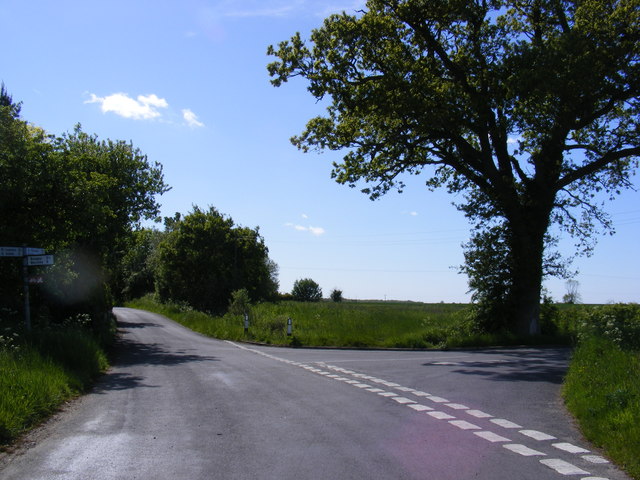
Low Street, Ilketshall St.Margaret
At the junction with Margaret's Road near Charity Farm
 Map © Crown Copyright")
TIP: Click the map for more Large scale mapping
- Grid Square
- TM3485, 124 images (more nearby 🔍)
- Photographer
- Geographer (more nearby)
- Date Taken
- Monday, 3 June, 2013 (more nearby)
- Submitted
- Wednesday, 5 June, 2013
- Subject Location
-
OSGB36:
 TM 34466 85471 [1m precision]
WGS84: 52:25.0165N 1:26.7887E - Camera Location
-
OSGB36: TM 34466 85471
- View Direction
- WEST (about 270 degrees)