2013
TL3904 : St. Leonard's Road neaer Lower Nazeing, Essex
taken 11 years ago, near to Bumble's Green, Essex, England
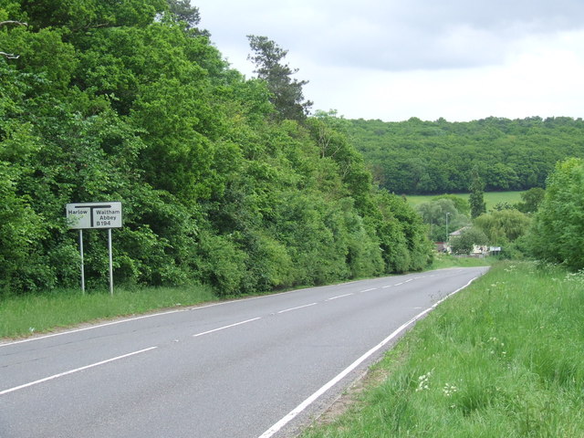
St. Leonard's Road neaer Lower Nazeing, Essex
 Map © Crown Copyright")
TIP: Click the map for more Large scale mapping
- Grid Square
- TL3904, 28 images (more nearby 🔍)
- Photographer
- Malc McDonald (more nearby)
- Date Taken
- Saturday, 1 June, 2013 (more nearby)
- Submitted
- Wednesday, 5 June, 2013
- Subject Location
-
OSGB36:
 TL 3927 0423 [10m precision]
WGS84: 51:43.1706N 0:0.8844E - Camera Location
-
OSGB36: TL 3926 0427
- View Direction
- South-southeast (about 157 degrees)