2013
NO8991 : Upstream Burn of Muchalls
taken 11 years ago, near to Bridge of Muchalls, Aberdeenshire, Scotland
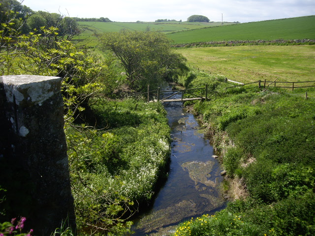
Upstream Burn of Muchalls
Past a small footbridge south of the village; from the Bridge of Muchalls, the start its stone parapet visible far left.
 Map © Crown Copyright")
TIP: Click the map for more Large scale mapping
- Grid Square
- NO8991, 27 images (more nearby 🔍)
- Photographer
- Stanley Howe (more nearby)
- Date Taken
- Thursday, 6 June, 2013 (more nearby)
- Submitted
- Thursday, 6 June, 2013
- Subject Location
-
OSGB36:
 NO 8938 9109 [10m precision]
WGS84: 57:0.6497N 2:10.5897W - Camera Location
-
OSGB36: NO 8940 9109
- View Direction
- WEST (about 270 degrees)