2013
NO1426 : Murrayshall Road, by Annaty Burn
taken 11 years ago, near to Scone, Perth And Kinross, Scotland
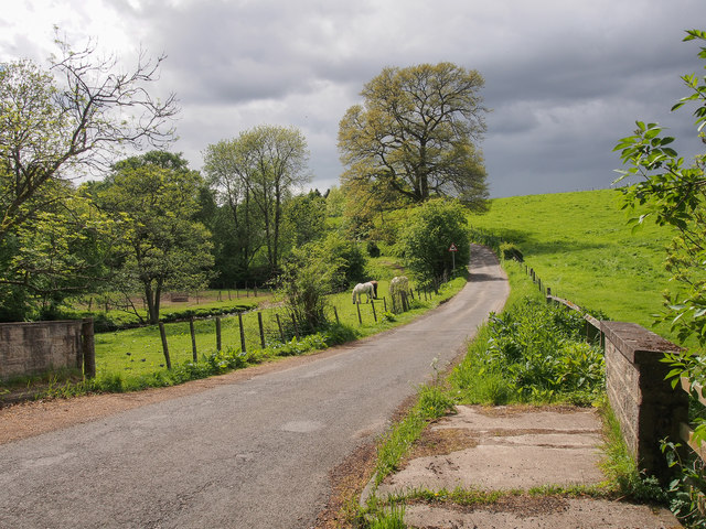
Murrayshall Road, by Annaty Burn
The parapet of the bridge over NO1426 : Annaty Burn is in the foreground.
 Map © Crown Copyright")
TIP: Click the map for more Large scale mapping
- Grid Square
- NO1426, 18 images (more nearby 🔍)
- Photographer
- Rob Burke (more nearby)
- Date Taken
- Saturday, 1 June, 2013 (more nearby)
- Submitted
- Friday, 7 June, 2013
- Subject Location
-
OSGB36:
 NO 14875 26016 [1m precision]
WGS84: 56:25.1196N 3:22.8870W - Camera Location
-
OSGB36: NO 14875 26015
- View Direction
- WEST (about 270 degrees)