2013
SK5358 : Cauldwell Dam, Mansfield, Notts
taken 11 years ago, 3 km from Mansfield, Nottinghamshire, England
This is 1 of 11 images, with title starting with Cauldwell in this square
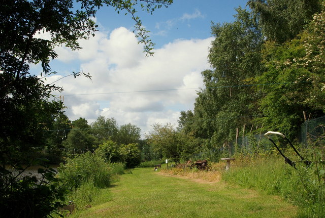
Cauldwell Dam, Mansfield, Notts.
A mown area at the side of one of the ponds allows members of a local angling club easier access to this side of this particular pond. This/these fishing pond/s can only be reached with a vehicle via Coxsmoor Road, Mansfield (i.e. the B6139). This is a view from Cauldwell Road.
 Map © Crown Copyright")
TIP: Click the map for more Large scale mapping
- Grid Square
- SK5358, 34 images (more nearby 🔍)
- Photographer
- David Hallam-Jones (more nearby)
- Date Taken
- Sunday, 16 June, 2013 (more nearby)
- Submitted
- Sunday, 16 June, 2013
- Subject Location
-
OSGB36:
 SK 5310 5845 [10m precision]
WGS84: 53:7.2354N 1:12.4814W - Camera Location
-
OSGB36: SK 5310 5845
- View Direction
- South-southwest (about 202 degrees)