2013
TM4580 : Footpath to A145 London, Stoven & Southwold Roads
taken 11 years ago, near to Stoven, Suffolk, England
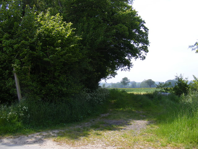
Footpath to A145 London, Stoven & Southwold Roads
Off Halesworth Road near Whitehouse Farm
 Map © Crown Copyright")
TIP: Click the map for more Large scale mapping
- Grid Square
- TM4580, 60 images (more nearby 🔍)
- Photographer
- Geographer (more nearby)
- Date Taken
- Tuesday, 11 June, 2013 (more nearby)
- Submitted
- Monday, 17 June, 2013
- Subject Location
-
OSGB36:
 TM 45046 80826 [1m precision]
WGS84: 52:22.2379N 1:35.9004E - Camera Location
-
OSGB36: TM 45046 80826
- View Direction
- WEST (about 270 degrees)